HIKING & BIKING
BACK 40 TRAILS
Nearly 40 miles of trails. 10 minutes away!
Open to the Public
5am - 10pm Daily
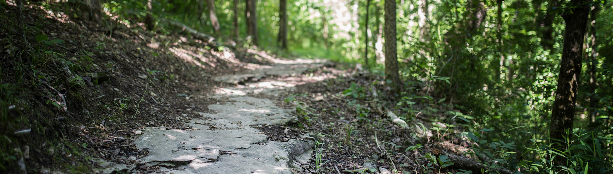
Pure Arkansas Singletrack: Nearly 40 miles of natural-surface, multi-use trails.
TRAIL MAPS
Online Trail Map
Printable Trail Map
TRAILHEADS
Buckingham Trailhead
Trafalgar Road and Buckingham Drive
Directions: From U.S. 71 northbound: Right (east) on Trafalgar Road for 1.2 miles, left on Buckingham Drive. The trailhead is on the right.
Lake Ann Trailhead
Castleford Drive and Wem Lane
Directions: From U.S. 71 northbound: Right (east) on Trafalgar Road for 3.8 miles, left on Castleford Drive. The trailhead is on the left after one-quarter mile.
Bear Hollow Trailhead
Gainford Drive and Gosforth Lane
Directions: From U.S. 71 northbound: Right (east) off exit 98 (Lancashire Blvd.) for 3.2 miles, left on Gainsford Drive. The trailhead is on the left after 350 feet.
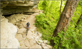
TRAILS
Intermediate trails
The Back 40 Loop (21.4 miles)
Brittany Dam (.17 miles)
Buckingham Cutoff (.08 miles)
Flo Ride (2.17 miles)
Merritt Circle (.1 miles)
Pinyon Creek (2.08 miles)
Rago (2.96 miles)
SBAT (2.33 miles)
Taylor Homestead (1.71 miles)
Tower Trail (.11 miles)
Expert/Advanced Trails:
The Ledges (2.94 miles)
Lookout (.35 miles)
Summit School (.5 miles)
What the Chuck (.1 miles)
CYCLING AND MOUNTAIN BIKING LINKS
Area trail maps
The Back 40
Bicycle Coalition of the Ozarks
Bicycle Safety in Arkansas
Bike Bentonville
Bella Vista Bike Club
Boston Mountain Cyclists
FAST — Friends of Arkansas Single Track
Girls Bike Bentonville
IMBA — International Mountain Bicycling Association
NICA — National Interscholastic Cycling Association
Ozark Off-Road Cyclists
The Railyard
Razorback Regional Greenway
Travel with Care NWA
HIKING AND TRAIL RUNNING LINKS
Bella Vista Property Owners Association trails
The Back 40
Devil’s Den State Park
Hill N Dale Hikers
Hobbs State Park
Northwest Arkansas Trail